Masthead

Features, Themes, and Layers

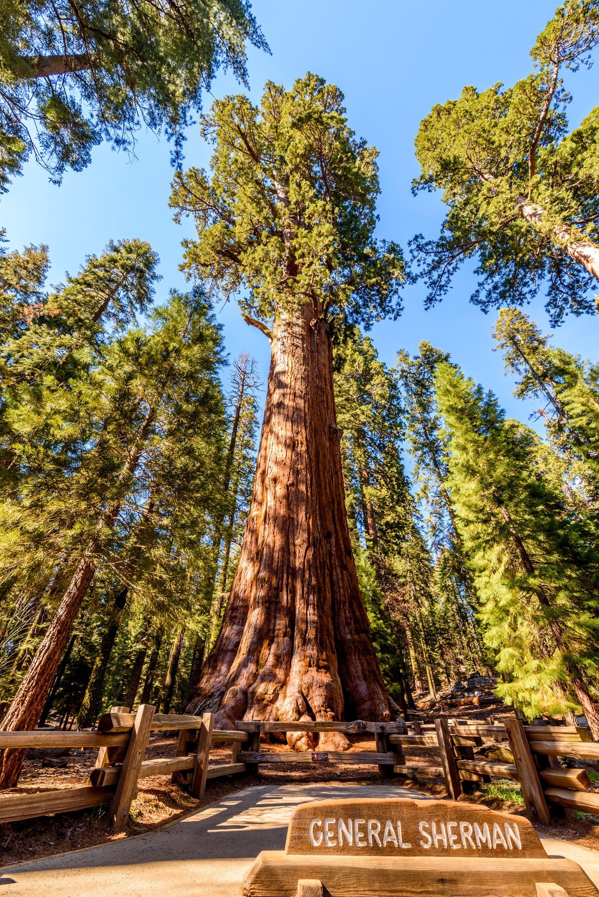
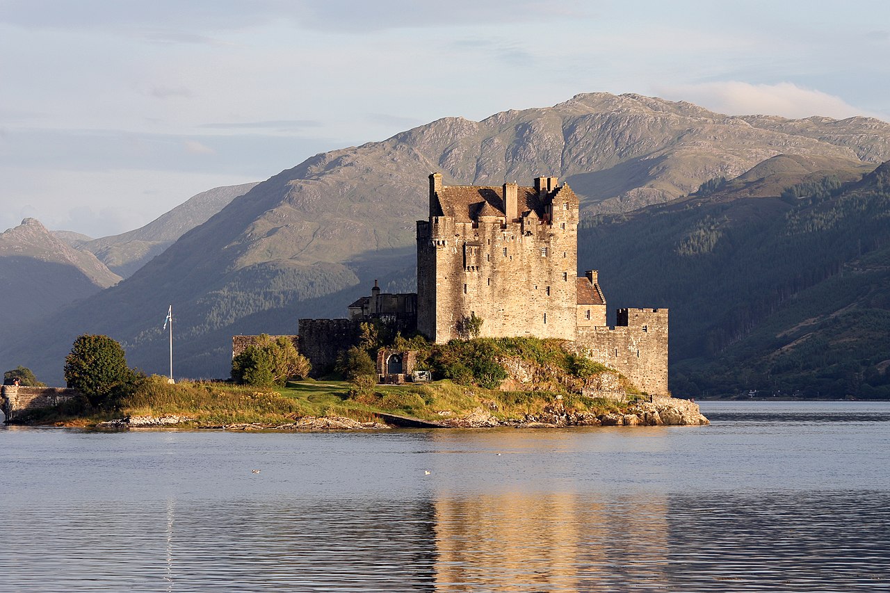
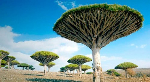
Features are things on the ground that we represent within a GIS. Features include trees, buildings, roads, streams, and mountains. Features also include things that we have designated on the ground but cannot be viewed such as state boundaries. Examples of features would be:

  • Arcata
  • California
  • This room
  • The Pacific Ocean
  • General Sherman (the tree)
  • Eilean Donan castle
  • Your house
The General Sherman Tree by Gerrit Ebert By © Guillaume Piolle /, CC BY 3.0, https://commons.wikimedia.org/w/index.php?curid=7558028

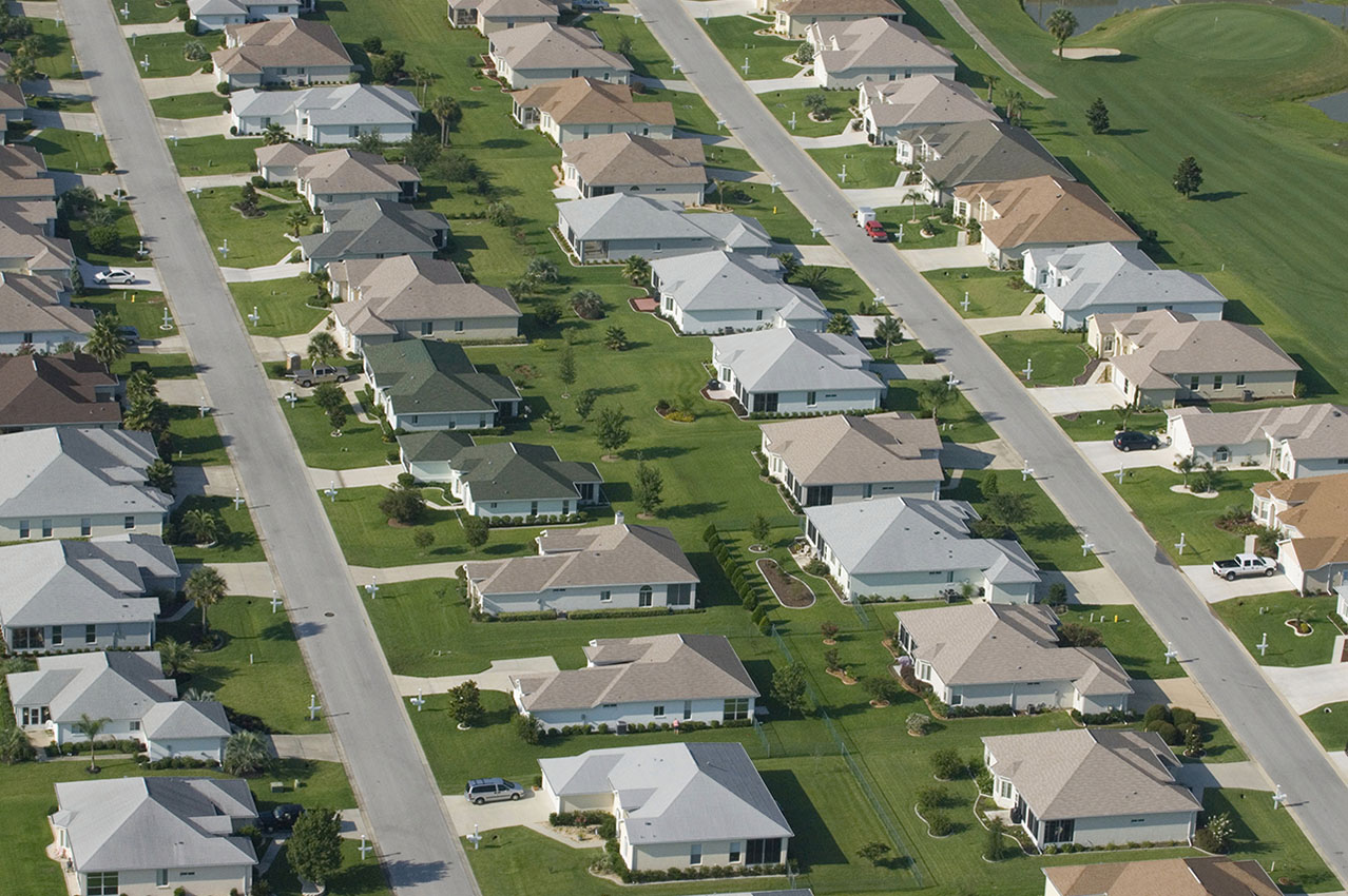
A theme is a group of features of a similar type. Thus you could have a feature that is a road and then a theme that is roads for Humboldt County. Themes include:

  • Cities
  • States
  • Rooms
  • Oceans
  • Castles
  • Houses
  • Trees
  • Countries
http://www.duskyswondersite.com/nature/trees/
By The original was edited by User:Andrew c to include Nova Scotia, PEI, Bahamas, and scale key.It was originally uploaded to the English Wikipedia with the same title by w:User:Wapcaplet:20:57, 9 October 2005 . . Dbenbenn . . 959x593 (339217 bytes) (fix South Carolina label)20:27, 9 October 2005 . . Dbenbenn . . 959x593 (339227 bytes) (typo, Massachussetts -> Massachusetts)19:01, 9 October 2005 . . Dbenbenn . . 959x593 (371653 bytes) (crop, and remove some shapes (rivers, highways, capitals, lakes) that didn't display anyway)13:18, 23 September 2005 . . Ed g2s . . 990x855 (978668 bytes) (fix (removed <image /> tag))23:48, 23 September 2004 . . Wapcaplet . . 0x0 (978926 bytes) (SVG map of the United States. Created by Wapcaplet. {{GFDL} }) - File:Map_of_USA_with_state_names.svg?, CC BY-SA 3.0, https://commons.wikimedia.org/w/index.php?curid=8884010

Images from Wikipedia, Public Policy of California, Dusky Wonder Site


Layers are typically of one theme (i.e. feature type) and are the main "chunk" of data that we work with in a GIS. When we load something from a file into a GIS, it is typically a layer containing data of one theme. A layer we might load into a GIS could be:

Layers

Layer: A spatial dataset containing spatial and a-spatial data for a single feature type

Graphic of the 8 base layers for the national map

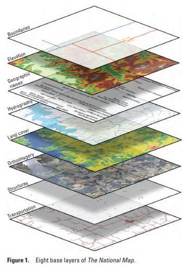
Layers are stacked together within a GIS (Image from the USGS)


Test Your Knowledge

Next >

© Copyright 2018 HSU - All rights reserved.